
Broad storm expected to develop into major hurricane
Tropical Storm Helene is expected to develop into a major hurricane today before “barreling” at North Florida on Thursday.
Columbia County Emergency Management Director Shayne Morgan said Tuesday afternoon that Helene, which became a named storm late Tuesday morning, is expected to become a major hurricane.
It’s also projected to have major impacts across North Florida.
“The key thing with Helene is it is a broad storm, it’s going to be a big storm,” Morgan said. “So even if we don’t see the eye pass over us or pass in our near vicinity, we’re going to see impacts because of how wide that is.
“What does that mean? That means rain, winds, those types of things, with winds being a big factor that they may not normally be when we see these storms come through.”
The area received impacts last month when Hurricane Debby made landfall in Taylor County before moving across North Florida, including major flooding issues in Live Oak and along the Suwannee and Santa Fe rivers. That came 11 months after Hurricane Idalia hit the same areas, causing widespread damage in Suwannee and Lafayette counties.
Both the Columbia County Commission and the Lake City Council have emergency meetings called for this morning to declare local states of emergency. Gov. Ron DeSantis declared an emergency Monday with Columbia, Hamilton, Lafayette and Suwannee counties included. That declaration was expanded Tuesday from 41 to 61 counties in the state. DeSantis has also requested a federal emergency declaration in advance of the storm making landfall.
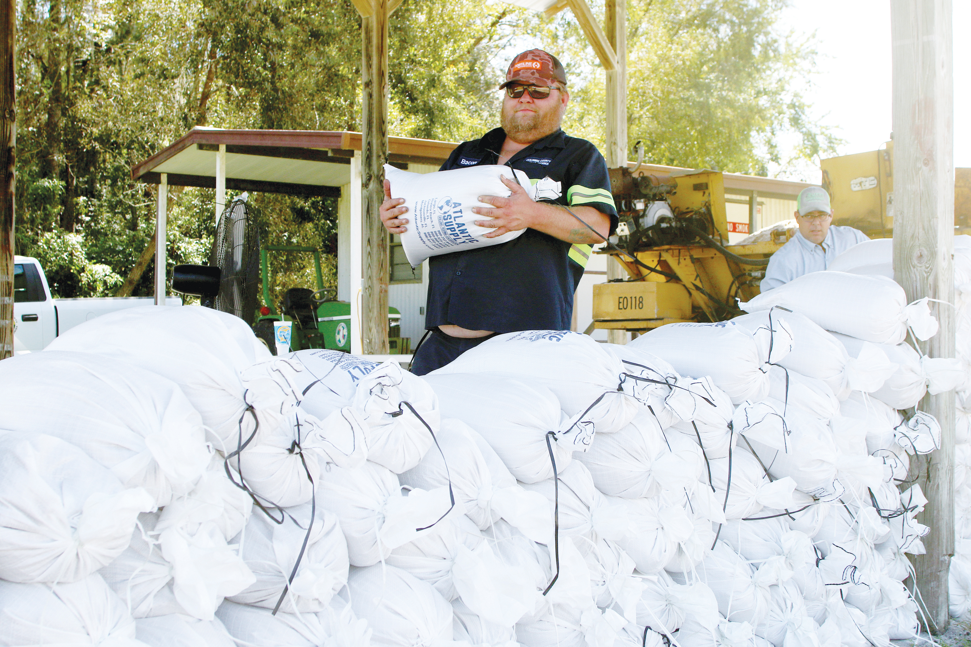
Columbia County will be opening sandbag locations at 7:30 a.m. today at Columbia County Public Works, 607 NW Quinten Street in Lake City; the Fort White Community Center, 17579 SW State Road 47 in Fort White; and the Southside Sports Complex, 1963 SW Bascom Norris Drive in Lake City.
Sandbags are already available in Suwannee County. Self-serve locations are located at the Live Oak Fire Department, 200 E. Duval Street in Live Oak, and behind the Branford Fire Station, 604 Suwannee Ave. NW in Branford. Pre-filled bags, with a limit of 10 bags per family, are available at the Judicial Annex, 218 Parshley St. SW in Live Oak.
In Lafayette County, sandbags are available for self-fill at the Mayo Community Center, 138 SW Community Circle in Mayo, from 8 a.m. to 6 p.m. There is a 25-bag per household limit.
On Tuesday morning, DeSantis said the impacts from Helene could be felt 100 miles to 200 miles from the center of what is expected to be “a potentially very dangerous storm.”
Florida Division of Emergency Executive Director Kevin Guthrie said he expects local evacuation decisions to be made Wednesday and urged Floridians to finalize preparation plans, including a full tank of gas and seven days of food and water.
Morgan also urged residents to get prepared for impacts. Morgan said those preparations should include power outages, readying a supply kit and devising a plan should the family members get separated if they leave their house.
He said the county was still finalizing its list of shelters, which would be opening early Thursday. He said that list would be released today.
“If you have friends or family that you can go stay with in a safer location than where you’re at, by all means do that,” he said. “We are working on the sheltering because with this wind, the sheltering could become an issue that people want to take refuge in.”
While Helene is expected to bring significant winds to the area, Morgan said there should not be as much rain as what Debby dumped on the region at the beginning of August. Currently, the forecast is calling for around 3-7 inches of rainfall during the storm.
“The one advantage we have with this storm that we didn’t have with Debby is there is no indication in any of the guidance that this system is going to stall,” he said. “It’s going to move, it’s going to move fast once it organizes on Wednesday. It’s going to pick up speed and come barreling at us.”
The National Hurricane Center on Tuesday gave the system a “near 100 percent” chance of formation in the next 48 hours.
The News Service of Florida contributed to this report.