Subhead
Impacts reduced 75% in revised FEMA risk maps
-

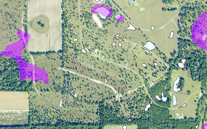
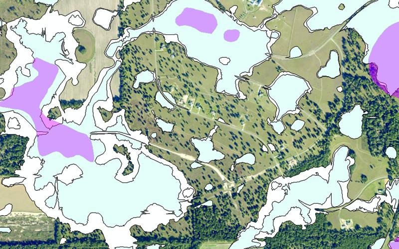
A revised FEMA flood risk map shows areas in The Oaks of Lake City subdivision that will be in flood zones, including new areas that are shaded blue. The Suwannee River Water Management District and FEMA are continuing to revise the maps after receiving hundreds of objections from the public earlier this year. (COURTESY SUWANNEE RIVER WATER MANAGEMENT DISTRICT)
-

The Oaks of Lake City subdivision’s flood risk map unveiled earlier this year by the Suwannee River Water Management District and FEMA. Updates to the maps were made with new geographical and modeling information. (COURTESY SUWANNEE RIVER WATER MANAGEMENT DISTRICT)
A flood of feedback — or objections — has washed out preliminary FEMA flood risk maps for southern Columbia County.
At Thursday’s Columbia County Commission meeting, Suwannee River Water Management…
Premium Content is available to subscribers only. Please login here to access content or go here to purchase a subscription.