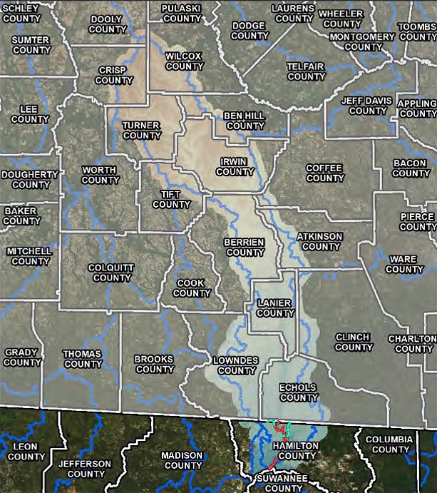
Preliminary map presented Thursday at Civic Center.
A preliminary flood risk map for the Alapaha watershed, the light shaded area on the map that includes most of the western portion of Hamilton County, will be presented at a meeting Thursday night at the Jasper Civic Center. (COURTESY)
JASPER — Residents of the Alapaha and Aucilla watersheds — which includes portions of Hamilton, Jefferson, and Madison counties — are being given another opportunity to review the new preliminary…