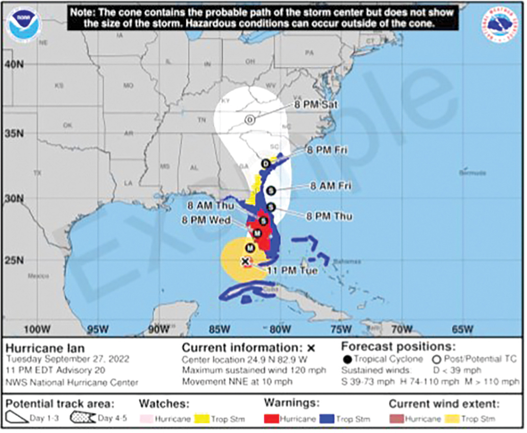
Revised graphic will provide intel for inland impacts.
The National Hurricane Center will start using a new cone graphic for storms that will better ‘convey wind hazard risk inland in addition to coastal wind hazards.’ (COURTESY)
By Roger Simmons
Orlando Sentinel
This hurricane season, the National Hurricane Center’s forecast cone is going to look a little different — and that should mean better information.